A well-known worldwide postgraduate program in geomatics, remote sensing, and GIS is the Master of Photogrammetry and Geoinformatics at Stuttgart University of Applied Sciences (HFT Stuttgart). Since its founding in 1999, the English-taught program has graduated more than 500 students from 89 different countries, building a robust and active international network of alumni. With over 20 years of academic success, the program has received high DAAD assessments and is accredited by ASIIN and EUR-ACE.
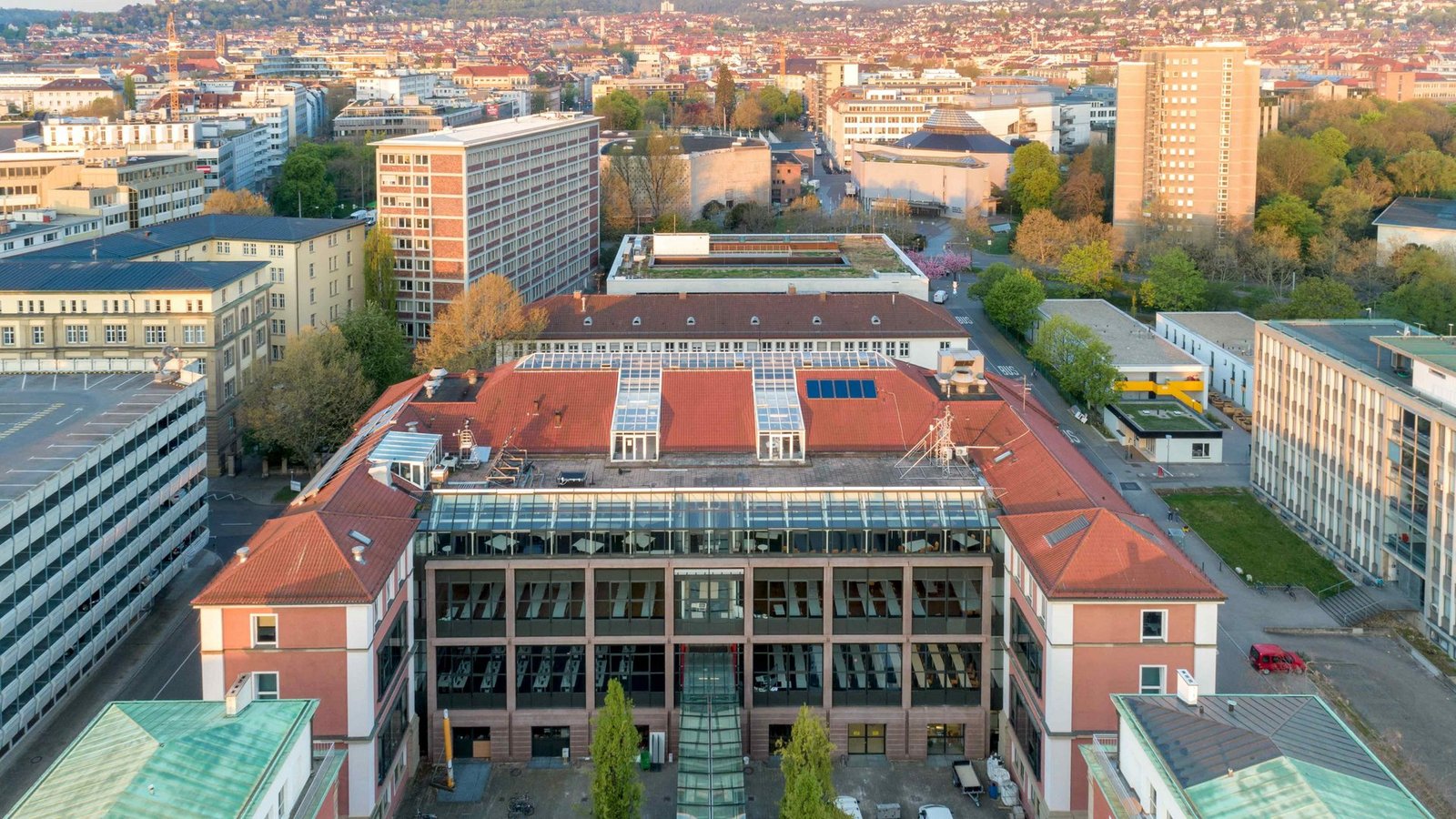
HFT Stuttgart, one of Germany’s top applied science colleges, was established in 1832. The university offers a broad range of bachelor’s and master’s programs in engineering, architecture, business, computer science, geomatics, and sustainable development. Stuttgart is home to multinational innovators like Bosch, Daimler, and Porsche.The school is renowned for its applied research, practice-based instruction, and solid industry partnerships. With a multicultural student body, state-of-the-art labs, and cutting-edge teaching strategies, HFT Stuttgart offers top-notch academic instruction and exceptional job prospects for graduates.
Host Country: Germany
University: Stuttgart University of Applied Sciences (HFT Stuttgart)
Opportunity Type: Masters
Subjects: Geoinformatics, Photogrammetry
Eligibility Country: International Students, Domestic Students
Financial Coverage: Fully Funded, Partial Funding
Eligibility Criteria:
- A bachelor’s degree (or its equivalent) in computer science, geoinformatics, geomatics, photogrammetry, remote sensing, civil engineering, geography, environmental sciences, or a closely related discipline is required for educational background.
- Professional Experience: It is advantageous to have prior relevant job experience.
- Career Motivation: Applicants must exhibit a significant desire in creating a career in GIS, Photogrammetry, or Remote Sensing.
- Language Requirement: Unless the prior degree was earned in English, proof of English competence (TOEFL/IELTS or equivalent) is required.
Career Perspectives:
- Graduates of the Master Photogrammetry and Geoinformatics program work in:
- Global mapping and surveying organizations
- Remote sensing and GIS industries
- Urban and regional planning authorities
- Forestry, agriculture, and environmental management sectors
- Research institutes and universities (with opportunities for PhD studies)
- Public sector and international development agencies
Benefits:
- Obtain a Master of Science degree that is recognised throughout the world.
- Scholarships from DAAD are provided to exceptional overseas students.
- Take advantage of nine contemporary labs with cutting-edge equipment.
- Gain knowledge from seasoned instructors and outside speakers that have solid industry experience.
- Examine a variety of job options in forestry, urban/rural planning, environmental research, mapping agencies, land management, and other fields.
- chances to work together with world-renowned companies like Bosch, Daimler, and Porsche.
- Engage in a lively cross-cultural conversation with classmates from other countries.
- ASIIN and EUR-ACE have accredited and quality-assured the program.
Deadline: 15 October 2026